Settlement not final in county road suit
Published 2:15 pm Thursday, December 30, 2021
BAKER CITY — Negotiations are continuing on the terms of a settlement between Baker County and a private landowner over a gated road in the Lookout Mountain area.
Baker County commissioners voted 2-1 on Sept. 15 to approve a settlement in the lawsuit the county filed nearly three years ago to force the landowner to unlock a gate blocking public access to a dirt road between Lookout Mountain and Brownlee Reservoir, at the east end of the county.
Under the settlement, the county will pay the landowner $125,000 for a “permanent undisputed right of way” on the road in question.
Kim Mosier, an attorney for Baker County, wrote in a message to the Baker City Herald that “there hasn’t been a final settlement reached on all issues, yet, and the County continues to work with the parties to come to a suitable resolution.”
The county has not paid any money to the property owners, Mosier said.
She said that as far as she knows, the gate remains closed.
The area is not easily accessible during winter due to snow. It is most popular during fall hunting seasons.
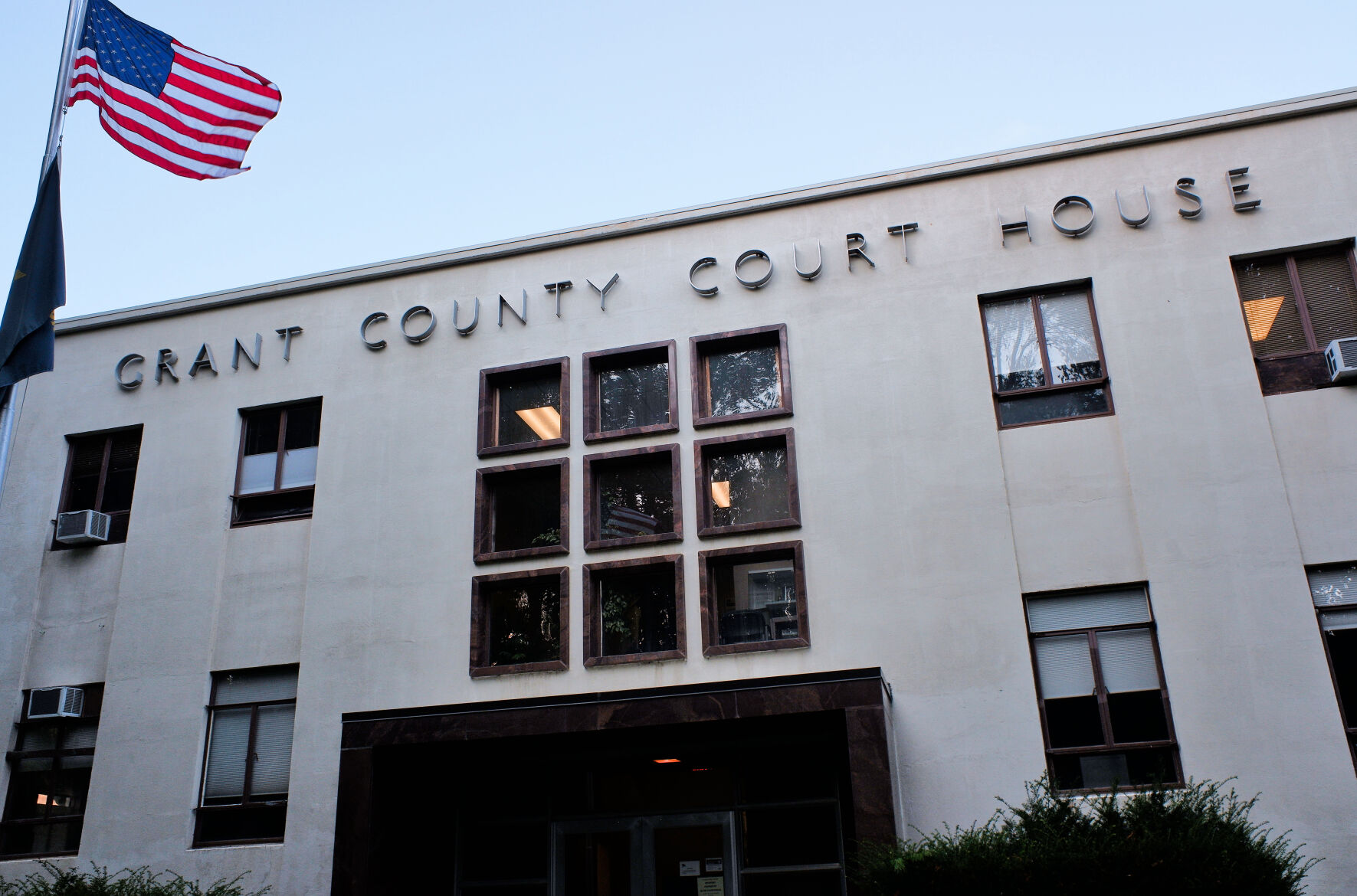
A status hearing on the lawsuit is scheduled for Jan. 21 at 1:45 p.m. in Baker County Circuit Court, 1995 Third St.
In addition to the cash payment, the settlement also requires the county to fill potholes, install culverts and grade the section of road through the private property.
The agreement calls for the gate to be open except during periods of high fire danger. The two parties will have to agree on which fire danger rating will be used to determine when the gate can be locked. When it’s locked, a combination to the lock would be given to county officials, the Bureau of Land Management and other agencies that might need access to fight wildfires.
Larry Sullivan, a Vale attorney, filed the lawsuit on the county’s behalf on Feb. 7, 2019.
The defendants — Timber Canyon Ranch LLC, Kennerly Ranches LLC and Forsea River Ranch LLC — are represented by Charles F. Hudson of Portland.
The road in question connects the Lookout Mountain Road to the Snake River Road, in the upper Connor Creek area.
In 2017, Todd Longgood and the Dennis Omer Hansen Revocable Living Trust bought property in the area and installed a locked gate across the road.
County officials objected to the road closure, and eventually chose to sue.
The contested road connects two county roads — Daly Creek Road, northeast of Lookout Mountain, and the Snake River Road just above Brownlee Reservoir.
The road is commonly called Connor Creek Road, as it follows that stream for a few miles from its eastern terminus at the Snake River Road. The gate, however, is at the opposite, western end of the road. Longgood had the gate locked in August 2017.
In its lawsuit the county contends that the road is a historic public route that can’t be blocked.
Longgood’s attorneys disagree, citing historic maps, property deeds and other records as evidence that the gated road was built after the land was converted from public to private.
In the lawsuit the county contended that a resolution county commissioners passed in 2002 affirms the road as public and precludes landowners from blocking access on that road.
Commissioners passed that resolution after a different property owner, on the eastern end of the road at the Connor Creek Mine, also put in a locked gate. The resolution, citing a one-sentence federal statute from 1866 that assures public access to routes not otherwise reserved, states that the entire Connor Creek Road, including the section crossing the property Longgood now owns, is a public right-of-way that can’t be blocked.
That 1866 statute is commonly known as RS 2477. Other counties have cited the statute to show a route is legally open to the public. The key to proving a claim under RS 2477 is that the route in question was being used before the property it crosses was reserved for another purpose, a common example being that the land was transferred from public to private ownership.
Hudson, the defendants’ attorney, argued that the basis of the county’s argument is flawed because the Connor Creek Road, in its current alignment, was not built until after the property that Longgood now owns was transferred from public to private ownership.
As a result, Hudson contended, the county’s RS 2477 claim is invalid.
In a July 2018 letter to Sullivan, the county’s attorney, Hudson included multiple historic maps, the earliest from an 1882 survey, none of which shows that a road existed on the route of the current Connor Creek Road through Longgood’s property prior to the property being transferred from public to private ownership.
That transfer happened between 1912 and 1923, according to deed records that Hudson included with his letter.
Hudson contends that the earliest record of a road that follows, at least in places, the route of the current gated section of the Connor Creek Road is a 1938 federal survey — one done at least 15 years after the property Longgood now owns became private, thus negating a later public route claim under RS 2477.
Hudson also wrote in his letter to Sullivan that in 1978 the Bureau of Land Management negotiated an easement to use the Connor Creek Road to allow logging on public land in the area. That easement “expressly acknowledged that the road was private and might be locked by the owner,” Hudson wrote.


-
eEdition

-

-

