Winter weather advisory issued for east slopes of Cascades
Published 3:15 pm Friday, January 5, 2024
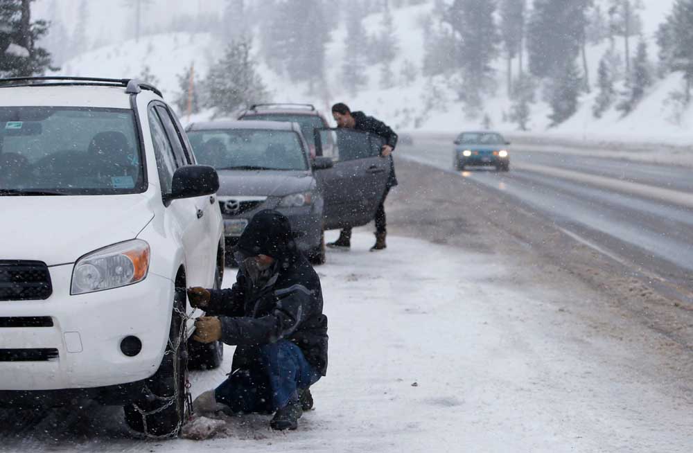
- A driver removes tire chains from his vehicle after driving over Santiam Pass west of Sisters in December 2016. A winter weather advisory has been issued for the Cascades.
Heavy snow and gusting winds as high as 40 mph are forecast for the east slopes of the Oregon Cascades, bringing accumulations of up to 10 inches in some areas, according to a National Weather Service winter weather advisory.
Although La Pine and Sunriver are included in the advisory, the weather service only expects 2 to 3 inches of snow in each location. The most snow is forecast to fall on mountain passes and the highest peaks.
The advisory was set to begin at 10 p.m. on Friday and continue until 4 a.m. on Sunday for areas above 3,500 feet, according to the alert. Travel could be “very difficult to impossible,” according to the alert.
More snow expected this weekend at Mt. Bachelor, Hoodoo
Brandon Lawhorn, a meteorologist with the National Weather Service office in Pendleton, said the winter weather advisory is mostly for the mountains and areas near Santiam Pass, where up to 8 to 10 inches is possible.
The snow will be a welcome sight at ski areas in Central Oregon following weak amounts of snowfall so far this year. As of Friday, snowpack in the Upper Deschutes and Crooked River basin was 39% of normal, according to data compiled by Natural Resources Conservation Service.
Bend and Sisters could also see some snow accumulations, said
Lawhorn.
“There is a 40% to 50% probability of seeing an inch of snow at the south side of Bend. That drops toward the north side where there’s just a 15% chance of an inch of snow.”
Lawhorn advised drivers in higher elevations to consult TripCheck for road conditions before traveling. Blowing snow will likely reduce visibility.
“We advise people to take it easy and follow what ODOT says what do in those areas,” said Lawhorn, referring to the Oregon Department of Transportation.