Crews continue to battle Falls and Telephone fires in wake of pilot’s death; community meeting Sunday
Published 12:12 pm Saturday, July 27, 2024

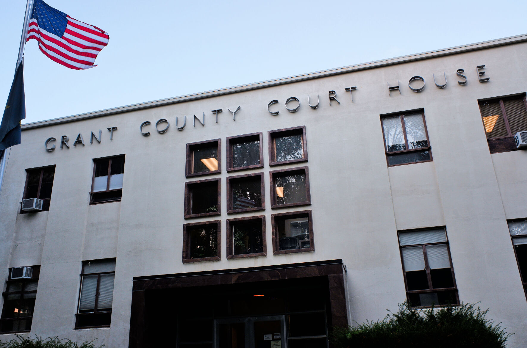
- Derek Jensen, left, of Washington Task Force 1 talks with a fellow firefighter at a staging area for the Falls Fire on July 16, 2024.
BURNS — Even as they mourned the loss of an air tanker pilot who died in the line of duty, the 1,492 personnel assigned to the Falls and Telephone fires continued to battle the blazes on Friday, July 26.
The pilot’s body was recovered Friday from the wreckage of a downed air tanker near Seneca, where it had been dropping retardant on the Parasol Fire.
The Falls Fire stood at an estimated 141,989 acres with 57% containment, while the Telephone Fire was estimated at 15,190 acres with zero containment. Several smaller fires continued to burn in the area.
A community meeting will be held on Sunday, July 28, at 3 pm at the Seneca City Hall, 106 Ave. A.
Leaders from the Alaska Incident Management Team will provide an update on the Falls Fire, Telephone Fire, Ritter Fire and several other new starts in the area.
The meeting will also be shared on the U.S. Forest Service-Malheur National Forest Facebook page, as well as the Falls and Telephone Fires 2024 Facebook page.
On Friday, an inversion kept haze and smoke over the Falls, Telephone and other smaller fires in the area, fire managers reported on Saturday, July 27. Heavy smoke created unhealthy air quality through the day. An inversion reduces additional heat to a fire, giving firefighters the chance to work directly on the fire, reducing fire spread.
The Telephone Fire was very active Friday. The fire crossed FSR28 and pushed to the southeast at Pujade Rd and the Cows Creek area. The Falls Fire held steady with minimal changes in spite of afternoon winds and extremely dry fuels. The most significant activity during the last few days has been new starts due to lighting and high winds associated with thunderstorms. Evacuation levels remain in place due to fire activity on the Telephone Fire and smaller starts in the area.
Falls Fire: Over the past 24 hours, the fire experienced minimal fire activity. On Friday, no growth was reported on the southern portion of the fire. The team used infrared (IR) to identify and address areas of heat as well as along the west side. Firefighters focused on containment and mop up operations. Crews worked hard to hold existing line and ensure the fire stays in place. Westerly winds pushed the Whiskey Fire, burning on the western side of the Falls Fire, back into the Falls’ perimeter. Crews utilized the road system and contingency lines, previously constructed for potential threats, as defensive features to wrap the fire into the Falls Fire footprint. Along the northwest corner, firefighters continued mop up to improve the fireline. Westerly winds allowed crews to go direct and pushed the fire back onto itself. This work is in place to protect the community of Izze and other local resources.
Along the northeast portion of the fire, hotshot crews worked with the support of dozers and water dropping aircraft to navigate the challenging terrain and other geographic features. Crews spent the day stitching together handline and roadways, making progress towards completing control lines along the northeast and eastern edge.
OSFM crews also continued to patrol the area to the NE of the Falls Fire near Silvies Ranch and throughout the Highway 395 corridor. This work continued overnight, with crews continuously patrolling, assisting wildland partners, and addressing structural protection needs.
Saturday, crews will continue improving the work completed on the south end of the Falls Fire with mop up and holding. Work on the Whiskey Mountain Fire includes prep of the FSR43 for possible firing operations.
On the Sand Fire, crews fought difficult terrain and have held the fire along FSR3160. Ground crews were assisted by air resources and made steady progress on Friday. Resources worked to wrap the fire into the Falls Fire utilizing geographic and strategic features to contain the fire. Firing operations are planned for Saturday.
The Parasol Fire had no new growth on Friday and crews secured dozer line around its perimeter. The fire remains at approximately 393 acres. The nearby Poison Fire, which sits in more challenging terrain grew to about 39 acres.
Firefighters were able to go direct due to the inversion. Air resources were engaged and assisted with suppression efforts on both Parasol and Poison. This area also had several small additional starts on Friday, which were mitigated as they were identified. On Saturday, OSFM resources will be extending operations to the east of these fires, surveying and prepping additional structures. They will be rechecking and strengthening the substantial work that has been completed in structural areas over the last several weeks. Crews will continue to reinforce containment line and will employ indirect and direct opportunities to get line around the entire fire.
Telephone Fire: The fire continued to have active fire behavior on Friday with running, torching and spotting observed. The fire is currently burning in East Canyon. The most significant spot fire, located to the northeast of the main fire, is approximately 20 acres. Wildland crews established a dozer line and will continue to use firing tactics today to remove fuels ahead of the active fire. Structure crews also expanded surveys, wrapped up preparations on structures and provided protection to buildings east of Highway 395 and along the southern edge of the Telephone Fire. Wildland and structural crews remained actively engaged overnight. Saturday, firefighters are working to secure line along the 28 Road, handling slop over and mop up. To the east of the 28 Road, crews are holding and preparing for the north wind expected later Saturday.
Saturday, OSFM crews will continue to coordinate with wildland resources to protect structure and focus efforts on keeping fire away from populated area to the south and east. Crews will also be assessing and preparing structures along the east side of FSR28.
The OSFM California resources have been demobilized due to increased wildfire activity within their own state. They have been replaced by two Task Forces from Utah. Saturday will be the last assigned day for all OSFM resources, as structural protection needs have been reduced thanks to the cooperative efforts of OSFM and wildland crews. The remaining OSFM Task Forces and the Blue Incident Management Team will be demobilizing Sunday morning. As of last night, OSFM crews have surveyed 386 residential structures, 686 outbuildings and 119 commercial structures.
This means that these locations have been identified, assessed, and prep work has been completed wherever necessary, ensuring the best possible structural package for remaining resources.
As of Saturday morning, the Alaska Incident Management Team assumed command of the Ritter Fire, located approximately 30 miles east of Burns near Clear Creek in the Stinking Water Mountains. Two Hotshot crews are working on the southeast corner to establish containment line in advance of expected winds.
Weather: Smoky conditions will continue through the morning Saturday with poor visibility. An inversion layer will stick around today and is expected to lift by early afternoon. Temperatures will remain similar to Friday and will stay in the mid-80’s. Skies will generally be clear by afternoon. Diurnal northwesterly winds will transition to the north, bringing in a weak disturbance this afternoon and wind gusts between 20-25 mph are anticipated across the fire area.
Evacuations: Evacuations remain in place in both Grant and Harney Counties and have expanded to include Level 3 evacuations due to the Telephone, Parasol and Poison Fires. For the most accurate evacuation information, please visit the Harney County Sheriff’s evacuation map here: https://tinyurl.com/3zst4sjy, or the Grant County Emergency Management Facebook page at: https://www.facebook.com/profile.php?id=100068819321423.
Closures: Due to active wildfires compounded by extremely unfavorable weather conditions, limited firefighting resources and County Resources, Malheur National Forest officials have temporarily closed lands within the Malheur National Forest.
Investigation: U.S. Forest Service fire investigators are seeking the public’s assistance with any tips or information pertinent to the start of the Falls Fire on the Malheur National Forest. Please submit any information that could assist fire investigation efforts to SM.FS.R6TipHotLine@usda.gov.
Facebook: https://www.facebook.com/p/Falls-Fire-2024-61562126623985/
Falls Fire InciWeb: https://inciweb.wildfire.gov/incident-information/ormaf-falls-fire
Telephone Fire InciWeb: https://inciweb.wildfire.gov/incident-information/ormaf-telephone-fire
Fire Information Line: 541-208-4370, staffed 8 a.m. to 8 p.m.
Email: 2024.Falls@firenet.gov
Harney County non-emergency evacuation questions: 541-589-5579
Air quality questions: 541-573-2271
Smoke Outlooks: https://outlooks.airfire.org/outlook
Size: 141,989
Start Date: July 10, 2024
Location: 13 Miles NW of Burns, OR
Containment: 57%
Total Personnel: 1,492
Cause: Human-caused, under investigation
Structures Triaged: Residences: 386; Commercial: 119 Outbuildings: 760
Resources Assigned: 43 hand crews, 74 engines, 23 bulldozers, 33 water tenders
Aerial resources available to the fire: 2 helicopters assigned
Size: 15,190
Start Date: July 22, 2024
Location: 12 miles NE of Burns, OR
Containment: 0%
Total Personnel: Staffed by Falls Fire personnel
Cause: Lightning/Natural
Whiskey Mountain: 2,565 acres
Cow Creek: 85 acres
Sand: 2,733 acres
Parasol: 353 acres
Poison: 39.6