Milder weather allows for gains Battle Mountain Complex, though much work remains
Published 1:15 pm Tuesday, July 30, 2024
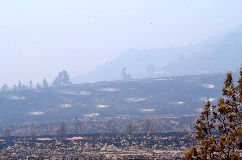
- Rings of ash mark the spots where trees were incinerated in the Battle Mountain Complex fire zone off Top Road near Monument.
UKIAH — Firefighters gained ground on the Battle Mountain Complex with a little help from the weather, fire managers reported on Tuesday, July 30.
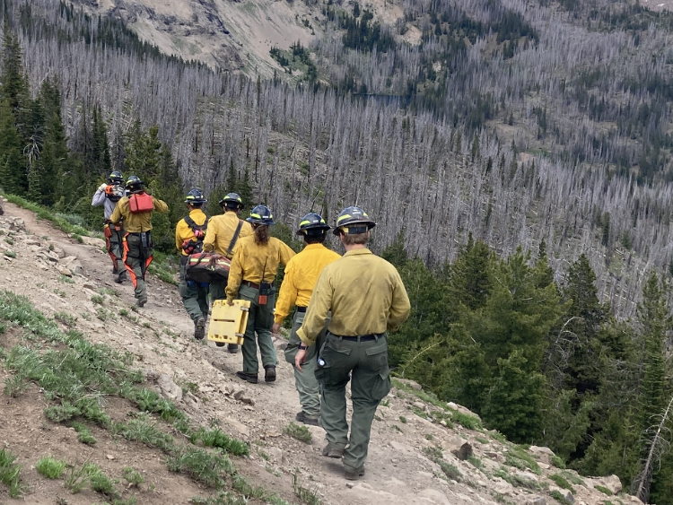
The fire burning in Umatilla and Grant Counties stood at an estimated 178,000 acres with 10% containment and 1,990 personnel assigned to fight the blaze. The cause remains under investigation.
After battling days of critical weather conditions and historically dry fuels, rain and increased humidity were a welcome sight for firefighters on the Battle Mountain Complex, officials said in their daily update.
On Zone I, an estimated quarter-inch of rain fell on the northern end of the fire near Turner Mountain and Tupper Butte. The southwestern end of the fire near Cupper Canyon, an area of repeatedly high fire activity, saw less rain but still received precipitation and recorded high humidities.
This combination of humidity and moisture served as an opportunity for firefighters to capitalize on after completing what was already a successful operational period the day before. The reduced fire behavior allowed firefighters to extend control lines farther, fight the fire more aggressively and finish mopping up areas that could have the potential to reignite once hotter, drier conditions return. As of Tuesday morning, over 200 miles of fire line entered the mop-up phase of suppressing the fire.
For Oregon State Fire Marshal (OSFM) resources assigned to Zone I, firefighters will lead mop-up operations around structures that were threatened by fire activity and ensuring a safe perimeter around homes has been established.
Overnight in Zone II, nightshift crews expanded mop up, even pushing into 125 feet along Forest Service Road 020 and along portions of the northern edges. Along the south and southeast, crews continued mop up, looked for new starts through “gridding,” and investigated a report of smoke. Firefighters will continue patrolling actively investigating smoke and new starts to ensure fire doesn’t escape the perimeter.
While the milder weather and lower relative humidity helps blunt fire behavior, precipitation in Zone II was well below a quarter of an inch, and fire officials expect a warming trend to begin on Wednesday.
“We have two days of milder weather to put in good work,” said ODF Team 3 Incident Commander Tyler McCarty. “The rain helps, but we’re only able to take advantage of it because our firefighters have put in tight line to get us to a place where we could make these gains. Make no mistake about it, firefighters have been putting this out and keeping it out.”
The Potamus drainage continues to be a focus as crews continue to work within the canyon to try and connect lines and stop the fire’s forward progress.
Evacuations: Level 1 (Be Ready), Level 2 (Be Set) and Level 3 (Go Now) evacuations are in effect. For updated information, visit:
For Umatilla County, follow www.facebook.com/UmatillaCountySheriff or sign up for Umatilla County Emergency Alert System at https://member.everbridge.net/index/2590041373147145.
For Grant County, visit the RAPTOR arcgis site or sign up for alerts at: https://member.everbridge.net/index/825462649520134.
For Morrow County, visit https://experience.arcgis.com/experience/de78333b0d2544f7a320142174aa20ae
Public Land Closures:
The Bureau of Land Management has closed public lands along the John Day River from Kimberly to Dale, and from Kimberly to Service Creek. More information here: https://www.blm.gov/programs/public-safety-and-fire/fire-and-aviation/regional-info/oregon-washington/fire-restrictions.
The Umatilla National Forest has implemented a closure for public lands within the Heppner Ranger District and the North Fork John Day Ranger District. More information at: https://www.fs.usda.gov/detail/umatilla/news-events/?cid=FSEPRD1194462 and https://www.fs.usda.gov/detail/umatilla/alerts-notices/?cid=stelprdb5286768.
Total Estimated Complex Size: 178,171 acres
Monkey Creek Fire: 173,687
North Fork Owens: 4,484 acres
Total Containment 10%
Cause: Under Investigation
Estimated Cost: $30,544,160
Hand Crews: 65
Engines: 88
Water Tenders: 37
Dozers: 29
Helicopters: 4
Total Personnel: 1,990


-
eEdition

-

-

