Weather aids firefighters battling Rail Ridge Fire
Published 9:43 am Monday, September 16, 2024
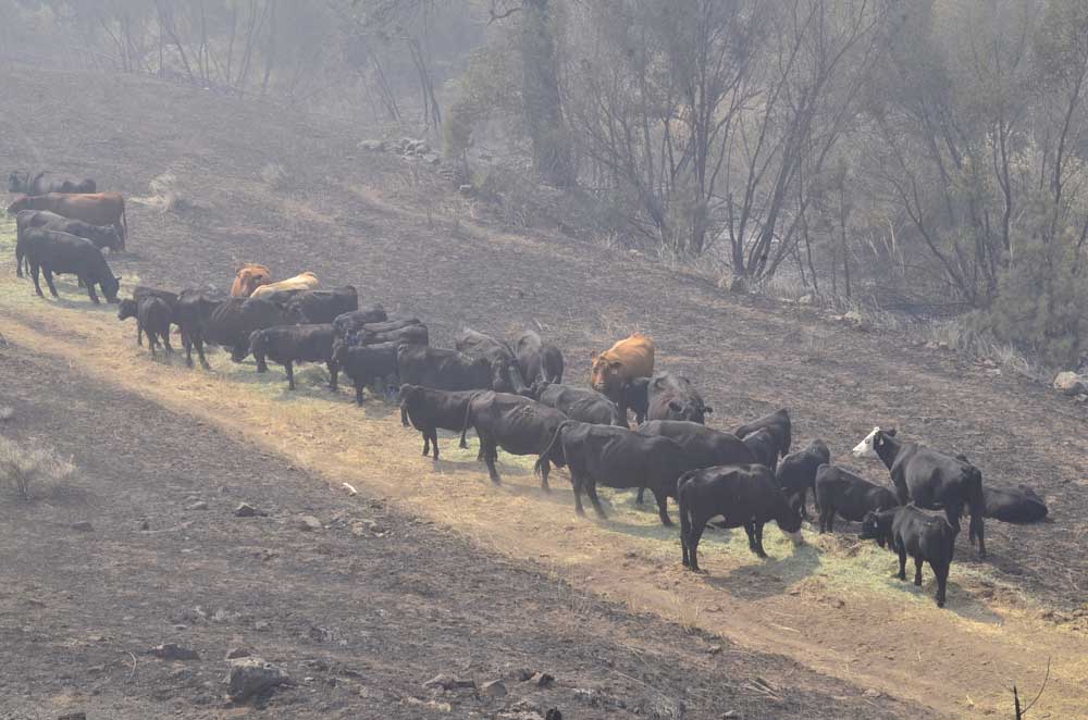
- Cows graze on freshly laid hay on Sept. 4, 2024, in a pasture scorched by the Rail Ridge Fire south of Dayville. More than 300,000 acres of public and private land have burned in Grant County so far in 2024.
DAYVILLE — Favorable weather conditions will allow for continued aggressive attack of the Rail Ridge Fire for the next several days as cooler weather and the possibility of precipitation is forecast through the first half of the week, fire managers said in an update on Monday, Sept. 16.
Trending
The fire burning just south of Dayville covers more than 162,000 acres and is 30% contained. A total of 1,105 personnel are fighting the blaze.
Most areas of the fire received some rainfall Sunday, with the eastern portions getting as much as ¾ of an inch and the west side just a few hundredths of an inch.
Firefighters are building containment line directly along the fire’s northeastern edge near Chrome Ridge to prevent any further spread toward U.S. 26 to the north or Forest Road 210 to the east.
Trending
Crews are going direct where safe to do so as well as working to build a shaded fuel break using the road system near Sugarloaf Mountain. The remainder of the fire’s east side is in mop-up mode as crews patrol for any heat sources that could threaten the line and work to eliminate them.
The southern and most of the western edges of the fire remain in mop-up and patrol status from Sage Hen Flat to Suplee and north along the 58 road toward 584.
Firefighters are working to improve the road system that skirts the edge of the Black Canyon Wilderness as conditions are not favorable for direct attack because of the terrain and fuel conditions.
Isolated rain showers are forecast Monday with continued high humidity and gusty winds up to 25 mph.
With the approaching frontal system, thunderstorms are possible and firefighters will be on the lookout for gusty, erratic winds that might develop as a result.
Closures and Evacuations
The U.S. Forest Service and Bureau of Land Management have implemented partial closures because of the Rail Ridge and Crazy Creek fires, for all uses. For more details and closure maps, visit the Ochoco National Forest, Malheur National Forest and BLM web pages.
Shelters are available to evacuees. For up-to-date evacuation information, please visit:
Grant County Emergency Management Office Facebook page.
Crook County Emergency Management website or Sheriff’s Office Facebook page.
Wheeler County Sheriff’s Office Facebook page.
Acres: 162,278
Crews: 24
Containment: 30%
Engines: 92
Detection Date: Sept 2, 2024 Cause: Lightning
Dozers: 25
Total resources: 1,190
Aircraft: 2 Type 1, 1 Type 2, 1 Type 3
Marketplace


-
eEdition

-

-
