Weather boosts efforts to battle Rail Ridge Fire near Dayville
Published 2:42 pm Tuesday, September 17, 2024
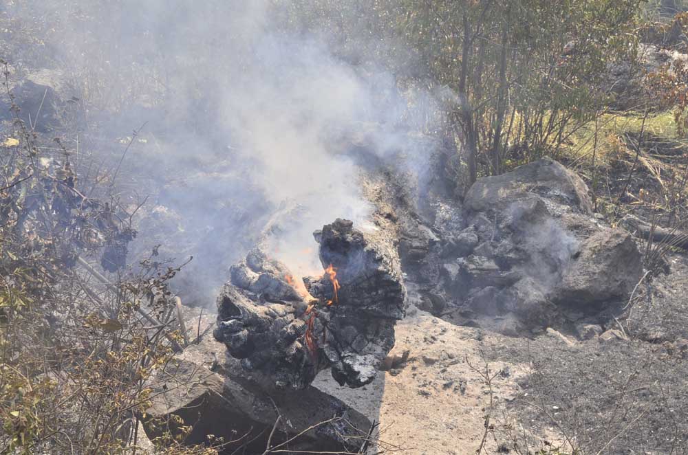
- A tree trunk sits beside the road still aflame due to the Rail Ridge Fire on Sept. 4, 2024.
DAYVILLE — Cool, wet weather is allowing crews to gain ground on the Rail Ridge Fire, according to an update issued by fire managers on Tuesday, Sept. 17.
Trending
Containment is up to 38% on the fire burning just south of Dayville. The blaze is currently estimated to cover a little over 162,000 acres.
As much as a quarter-inch of rain fell on some parts of the fire, further reducing fire activity in the area Monday night, officials said. This trend is expected to continue Tuesday as the crews continue to work on line construction, improving existing lines and conducting mop-up operations.
Along the north and west lines of the fire, crews will look for safe opportunities to construct direct line, as well as improve all established control lines. Crews will focus on improving the shaded fuel break around the Black Canyon Wilderness.
Trending
On the east edge of the fire, crews are taking a direct-attack approach west of Fields Peak and south to Thorn Creek Butte.
Crews will continue to monitor and patrol the southern portion of the fire and begin suppression repair.
Cool weather and forecasted precipitation and higher humidity will provide favorable conditions for crews Tuesday and through the rest of the week. Some smoky conditions are anticipated in warmer and dryer areas, and fire will continue to smolder and creep in some areas of pine/timber litter.
Cool and cloudy conditions are expected throughout the region, with isolated showers possible in the morning and afternoon Tuesday. Breezy northwesterly winds are expected through the evening with gusts up to 25 mph.
Closures and Evacuations
The U.S. Forest Service and Bureau of Land Management have implemented partial closures because of the Rail Ridge and Crazy Creek fires, for all uses. For more details and closure maps, visit the Ochoco National Forest, Malheur National Forest and BLM web pages.
Evacuation notices north of U.S. 26 in Grant County were lifted and the shelter in Mt. Vernon has been closed. For up-to-date evacuation information, please visit:
• Grant County Emergency Management Office Facebook page.
• Crook County Emergency Management website; Sheriff’s Office Facebook page.
• Wheeler County Sheriff’s Office Facebook page.
Acres: 162,278
Crews: 23
Containment: 38%
Engines: 90
Detection Date: Sept 2, 2024
Cause: Lightning
Dozers: 25
Total resources: 1,168
Aircraft: 2 Type 1, 1 Type 2, 1 Type 3
Marketplace


-
eEdition

-

-
