Umatilla National Forest officials say unexpectedly dry, windy weather pushed prescribed fire beyond boundaries into Walla Walla’s watershed
Published 3:56 pm Thursday, October 3, 2024
BAKER CITY — Weather that was both drier and windier than forecast caused a prescribed fire to burn beyond its planned perimeter on Tuesday, Oct. 1, and into the watershed that’s the source of Walla Walla’s drinking water.
Trending
But officials from the Umatilla National Forest, which manages the Mill Creek watershed, said the flames mainly stayed on the ground and had the beneficial effects that prompted the prescribed fire.
There was “minimal” torching of tree canopies when the Tiger Creek prescribed fire spread over about 155 acres of the watershed, Brett Thomas, the Umatilla’s fire management officer, said in a phone interview on Thursday afternoon, Oct. 3.
The fire, which forest officials declared a wildfire about 3 p.m. on Tuesday, has burned about 383 acres, including 228 acres that were planned to be burned.
Trending
The fire has grown little, if at all, since Tuesday, Thomas said.
Public access through the area is restricted on Forest Road 65 and Indian Ridge Trail. Residents along Mill Creek might see smoke in the evenings and overnight as warm, dry weather continues.
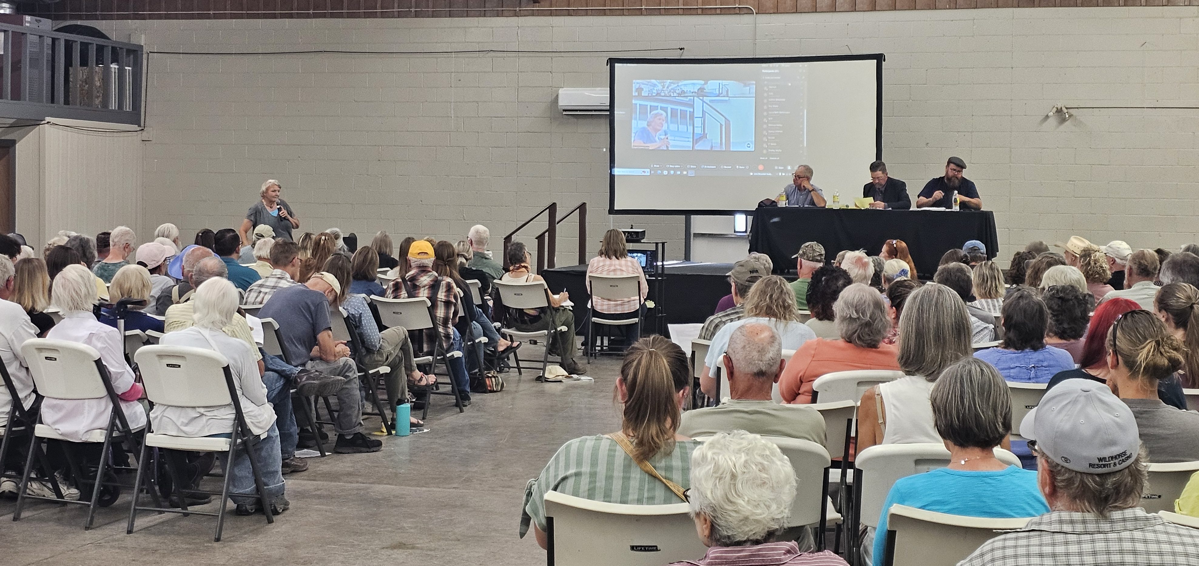
The Umatilla National Forest has scheduled a public meeting for Friday, Oct. 4, from 6:30 p.m.-8 p.m. in the commons at Walla Walla High School, 800 Abbott Road, to answer questions about the fire.
The event will be recorded and the video posted on Saturday, Oct. 5, on the Umatilla’s Facebook page.
Forest officials ignited the fire around 11 a.m. on Monday, said Johnny Collin, ranger for the Walla Walla Ranger District.
It was the second prescribed fire in the area. The first, in early October 2022, burned about 160 acres. In both cases, the fire was planned to burn over grassy slopes and in stringers of ponderosa pine and Douglas-fir timber.
The goal for both the 2022 fire and this year’s blaze is to reduce the amount of fuel on the ground adjacent to the watershed, Collin said.
As the source of drinking water for tens of thousands of people, the watershed is a “critical area,” Collin said, and reducing the wildfire risk is a priority.
The conditions conducive to a prescribed fire in the area typically are fleeting, however, Collin said.
The first significant fall rainstorm can leave the ground too sodden to carry the flames that reduce the fuel load, he said.
“We look for opportunities” to use prescribed fire to pare the fuel load, Collin said, “and at the time we lit this fire we had those conditions and the conditions in the forecast.”
But the weather didn’t follow that script, Thomas said.
Overnight Monday into Tuesday, the relative humidity — how much moisture is in the air — did not increase to the forecast level of around 65%, Thomas said.
The maximum humidity that night, measured by a Corps of Engineers weather station about a mile away, was around 40%, he said.
“That made quite a difference” in the fire behavior, Thomas said.
The typical increase in humidity during the night — what fire managers call “humidity recovery” — can have a significant effect on fires, with the additional moisture in the air temporarily slowing a fire’s spread.
But the unexpectedly low humidity wasn’t the only factor that contributed to the Tiger Creek prescribed fire’s spread.
Thomas said winds on Tuesday were also stronger than forecast, with gusts around 20 mph.
With the combination of low humidities and stronger-than-forecast winds, fire managers decided on Tuesday morning not to ignite any additional acres, as had been planned, Collin said.
Instead, forest employees sought to keep the fire within its planned perimeter.
Given the conditions, that was “challenging,” Thomas said.
Tuesday afternoon forest officials declared the blaze a wildfire and called in firefighters as well as aircraft.
Thomas said three heavy helicopters, along with two fixed-wing aircraft, dropped water on the fire.
Most of the 155 acres within the watershed burned on Tuesday, with little growth since then, Thomas said.
The weather also cooperated, he said, with the humidity rising to about 65% on Wednesday morning. There were also clouds.
Collin said the 155 acres in the watershed that have burned is an area that Umatilla officials intended to burn with a prescribed fire in the future as part of a long-term plan to help protect the watershed.
Wallowa-Whitman National Forest postponed prescribed fire in Hells Canyon
The Wallowa-Whitman National Forest announced on Sept. 27 that it had postponed a prescribed fire planned this week in the Hells Canyon National Recreation Area north of Oxbow.
The Puderbaugh Project is east of the Imnaha River, along Forest Service roads 39 and 3962 (Dry Creek) near Blackhorse and Ollokot campgrounds, about 13 miles north of Oxbow and 30 miles south of Imnaha.
The fire was scheduled to start as early as Sept. 26, and potentially continue burning for four days. The burn unit is 3,000 acres.
Walter Lowell, public affairs officer for the Wallowa-Whitman National Forest, wrote in an email Sept. 27: “Wallowa-Whitman fire staff have postponed the Puderbaugh prescribed burn to a later date as they continue to monitor the weather and other fires in the area. Conditions are monitored continuously to ensure that firefighting resources are allocated appropriately.”
The prescribed fire’s goals include reducing the amount of fuel on the ground, reducing the density of standing trees, and reintroducing fire to the area under controlled conditions, according to a press release from the Wallowa-Whitman.
Forest officials light prescribed fires in the spring and fall when weather and fuel conditions allow. If the ground and fuels are too damp, flames won’t spread. But if it’s too dry the fire could burn hotter and spread faster than fire managers prefer.
Although fire season is still in effect, and wildfires continue in places, conditions in the Puderbaugh Project are suitable for prescribed burning, according to the Wallowa-Whitman.
Smoke will be visible in the area, and the Wallowa-Whitman is asking visitors to avoid camping at Ollokot or Black Horse, and to use an alternate route to Dry Creek Road because traffic delays could be longest along Road 3962.
More information on prescribed fire is available at www.fs.usda.gov/main/wallowa-whitman/fire.
Prescribed fires planned elsewhere in Blue Mountains
All three national forests in the region — Wallowa-Whitman, Umatilla and Malheur — are planning prescribed fires this fall.
Prescribed fire information for the forests is available to the public on a tri-forest online map. The map is labeled and color-coded to show each burn unit’s status: planned, active, or completed. Additionally, forest users can view other features including current and past-year burn units, national forest boundaries and state wildlife management boundaries.
Links to the map are available on each forest’s website:
• fs.usda.gov/umatilla
• fs.usda.gov/malheur
• fs.usda.gov/wallowa-whitman
Marketplace


-
eEdition

-

-
