Dayville under Level 2 “Be Set” evacuation advisory; Level 3 “Go Now” notice for parts of South Fork Road
Published 4:43 pm Wednesday, September 4, 2024

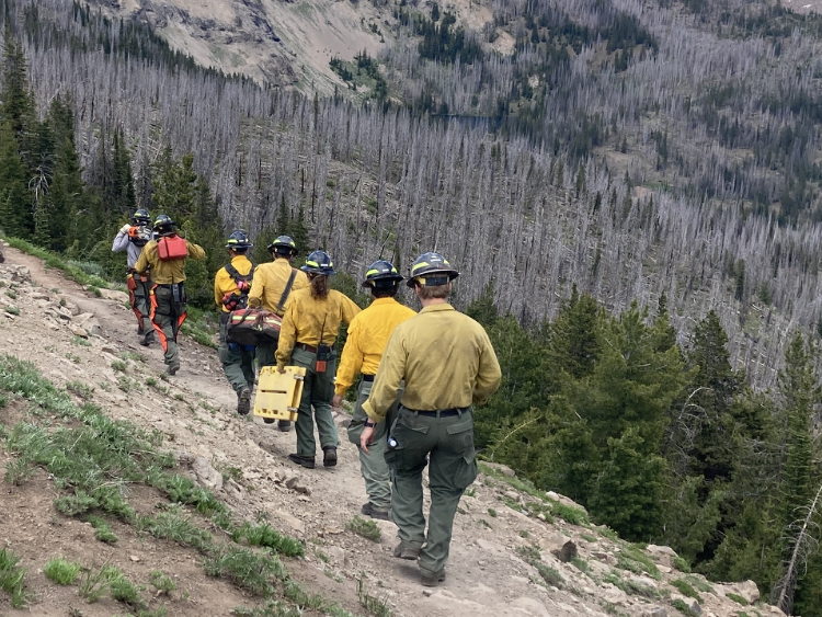
- rail ridge topo map 240904
DAYVILLE — The town of Dayville is now under a Level 2 “Be Set” evacuation notice as part of an expanding set of evacuation advisories driven by the fast-growing Rail Ridge Fire in southwestern Grant County.
The new advisory was issued around 4:20 p.m. Wednesday, Sept. 4, by the Grant County Emergency Management Office.
A Level 3 “Go Now” alert has been extended north along South Fork Road to Smokey Creek on the east and Johnson Creek in the west.
A Level 2 “Be Set” alert has been expanded to include everything north of Smokey Creek and Johnson Creek to Highway 26, including the town of Dayville, and east to Marks Creek.
These evacuation advisories are in addition to previous notices issued over the past few days.
A Level 3 “Go Now” evacuation advisory was issued Tuesday, Sept. 3, for the southern part of the fire zone west of South Fork Road to the Crook County line and south to the Izee-Paulina Highway by the Grant County Emergency Management Office.
A previous Level 3 evacuation notice remains in effect for the Murderers Creek Ranch and the area south of Murderers Creek to Cougar Creek Gulch and east to Shake Table.
A Level 2 “Be Set” alert that was previously issued for the area south of Wickiup Creek in the north to Fields Creek in the east, Murderers Creek in the south and west to Shake Table has also been extended. It now includes everything north of Forest Service Road 6370 and FSR 24 and the area east to FSR 21.
A new Level 1 “Be Ready” evacuation notice has been issued on the south side of the fire zone, from the Crook County line north of Swamp Creek Lane and south of the Izee-Paulina Highway and running northeast to FSR 24.
That joins a previous Level 1 advisory on the north side of the fire zone, which runs north to Highway 26, including Dayville, east to Fields Creek and south to Wickiup Creek.
The Grant County Emergency Management Office has received reports of up to six secondary residences destroyed, along with agricultural infrastructure.
The Rail Ridge Fire started on Monday morning and has now grown to more than 61,000 acres at last report. The fire is burning within 7 miles of Dayville, according to the InciWeb fire information website.
For regular updates, visit the Grant County Emergency Management Facebook page at https://www.facebook.com/p/Grant-County-Emergency-Management-100068819321423/; call the information line at 541-575-2885; or email the Emergency Operations Center at GCEOC@grantcounty-or.gov.
Access the active GIS map at https://oregon-oem-geo.hub.arcgis.com/


-
eEdition

-

-

