Receding snow opens many roads in the Blue Mountains
Published 3:00 pm Saturday, June 1, 2024
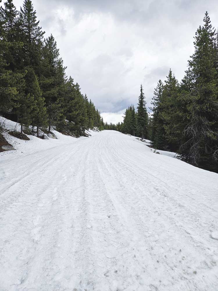
- Snow covers the Elkhorn Drive Scenic Byway, Forest Road 73, near Anthony Lakes Ski Area on May 28, 2024. A roughly 5-mile section of the 106-mile byway likely will remain blocked by snow for a couple more weeks.
BAKER CITY — A couple stretches of summer-like temperatures during May shrunk the winter snowpack sufficiently to make much of the public land in Northeast Oregon accessible as June begins.
That includes some of the main driving routes on the Wallowa-Whitman and Umatilla national forests.
As of Tuesday, May 28, open paved roads include Road 39 on the east side of the Wallowa Mountains between Halfway and Joseph, Road 51 along the upper Grande Ronde River above Starkey, and Road 52 from the North Fork John Day River to Ukiah, said Dan Story, road manager for the Whitman District on the Wallowa-Whitman.
Some roads at even higher elevations remain snowbound, however.
That includes a roughly 5-mile section of the Elkhorn Drive Scenic Byway, the 106-mile loop that circles the Elkhorn Mountains west of Baker City.
The route, designated as Road 73 on the Wallowa-Whitman, includes the 7,392-foot Elkhorn Summit, about three miles west of Anthony Lakes Ski Area. That’s the second-highest point on a paved road in Oregon, exceeded only by sections of the Rim Drive in Crater Lake National Park that are around 7,900 feet.
Snowdrifts sometimes block the byway near the Elkhorn Summit into late June or early July.
As of May 28, snow was still a couple feet deep near Anthony Lakes and extending over Elkhorn Summit and along the west side of the Elkhorns toward the Crawfish Lake trailheads, said Peter Johnson, the ski area’s general manager.
As the snow diminishes to isolated drifts, an Anthony Lakes worker will use a plow to push through the lingering snow to open the road.
But that’s “still a ways out,” Johnson said on May 28.
The byway’s opening date can vary by as much as a month, depending on the depth of the winter snowpack and spring temperatures.
In 2020 and 2022, the highest parts were blocked by snow until the last week of June.
But in 2021 and 2023, the road opened in the first week of June.
Wallowa-Whitman
Access to Eagle Creek is open from Sparta, Richland and Medical Springs, the latter route via Road 67 along Big Creek, Story said.
Snowdrifts still block parts of Road 77 east of Catherine Creek Summit, in the Flagstaff Hill area, however.
West Eagle Meadow is accessible from Eagle Creek to the east, or via the Big Creek Road.
Snow also still blocks the road to Moss Springs above Cove, and the higher portions of Road 43, the Ladd Canyon Road leading to Grande Ronde Lake, Story said.
Higher mountains
Deep snow remains at the highest elevations, including the Eagle Cap Wilderness in the Wallowas, and the peaks of the northern Blue Mountains and Elkhorn, Greenhorn and Strawberry ranges.
Snow typically covers trails in those ranges until well into July, and high passes in the Eagle Cap Wilderness, such as Horton, Hawkins, Glacier, Frazier and Polaris, can hold drifts into August.
On Thursday, May 30, an automated snow-measuring station called Milk Shakes, in the northern Blues near the Washington border, reported 35 inches of snow on the ground.
A station near Aneroid Lake, in the Eagle Cap Wilderness about 5 miles south of Wallowa Lake, reported 39 inches of snow.
Umatilla National Forest
https://www.fs.usda.gov/umatilla
Wallowa-Whitman National Forest
https://www.fs.usda.gov/wallowa-whitman
Malheur National Forest
https://www.fs.usda.gov/malheur