Malheur National Forest scales back southern closure
Published 3:44 pm Tuesday, August 6, 2024
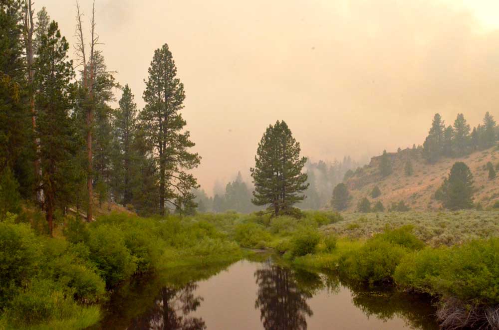
- Smoke from the Falls Fire casts an eerie haze over the Silvies River near the southern edge of Grant County on July 16, 2024.
JOHN DAY — The Malheur National Forest has reduced the South Area Closure, forest officials announced on Tuesday, Aug. 6.
Trending
Forest officials said they were able to reduce the closure area because of control and containment measures in place on wildfires burning in the vicinity. However, they added, fire managers will keep a portion of the southern part of the forest closed to maintain public safety during fire activity and fire suppression operations.
The new closure order rescinds and replaces the previous southern area closure.
The following areas remain closed:
Trending
• Grant County Road 63 following the National Forest boundary to Highway 395, south of Seneca.
• Highway 395 south of Seneca following the National Forest Boundary to Forest Service Road 1600 to the Forest Service Road 1601.
• Following Forest Service Road 1601 southeast to the intersection of Forest Service Road 1700.
• Following Forest Service Road 1700 to the intersection of Forest Service Road 1500.
• Following Forest Service Road 1500 to the Malheur National Forest Service Boundary.
• Following the southern portion of the Emigrant Creek Ranger District around to Grant County Road 63.
Marketplace


-
eEdition

-

-
