More evacuation advisories eased in Grant County
Published 10:32 am Wednesday, July 31, 2024
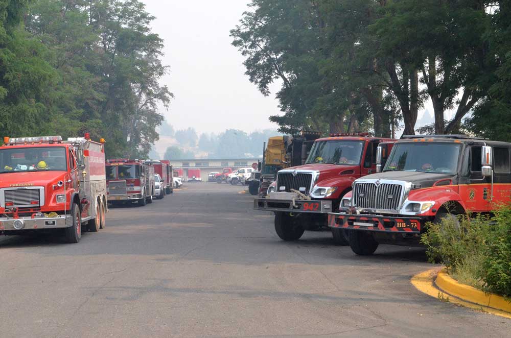
- A line of wildland fire engines stands by on the streets of Monument on July 28, 2024.
CANYON CITY — Several areas in northern Grant County fire zones have dropped from Level 3 to Level 2 evacuation status, while evacuation orders were totally lifted in one area of southern Grant County previously at Level 1, the Grant County Emergency Management Office announced on Wednesday, July 31.
Trending
The following evacuation level changes are effective at 10 a.m. July 31 –
North:
All of the area north of Highway 402 west from Cupper Creek to the Wheeler County line previously at Level 3 “Go Now” status is reduced to Level 2.
Trending
Everything south of Highway 402 and north of Highway 26 previously at Level 3 drops to Level 2.
The following is lowered from Level 3 to Level 2 – the area north of Highway 402 and south of County Road 15/Ritter Road between Highway 395 and County Road 5/Deer Creek Road; and the area north of County Road 15/Ritter Road and south of County Road 19 east of Twelvemile Creek.
South:
The area south of County Road 63/Izee-Paulina Road to the Harney County line between South Fork Beaver Creek and Big Flat Road previously at Level 1 is removed from evacuation status.
For regular updates, visit the Grant County Emergency Management Facebook page at https://www.facebook.com/p/Grant-County-Emergency-Management-100068819321423/; call the information line at 541-575-2885; or email the Emergency Operations Center at GCEOC@grantcounty-or.gov.
To access the active GIS map, go to: https://oregon-oem-geo.hub.arcgis.com/
Marketplace


-
eEdition

-

-
