County eases some evacuation levels near Falls Fire
Published 1:37 pm Tuesday, August 13, 2024
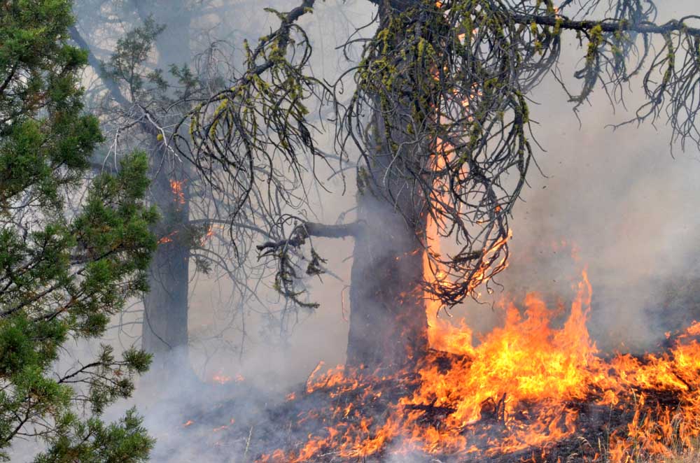
- Flames claim a tree on the Falls Fire's leading edge on July 16, 2024.
SENECA — Some of the evacuation advisories in the vicinity of the Falls Fire are being eased, the Grant County Emergency Management Office announced on Tuesday, Aug. 13.
Trending
The Level 3 “Go Now” zone north of the Harney County line and east of Highway 395, but extending west to Silvies Valley Ranch Resort, has been downgraded to Level 2.
The Level 2 “Be Set” evacuation zones west of Forest Service Road 24, north of County Roads 63 and 67 and north of the Harney County line have been downgraded to Level 1 “Be Ready.”
The Izee-Paulina Highway (County Road 63) has been opened to all traffic. The Burns-Izee Road (County Road 67) and Forest Service Road 31 remain closed south of the Izee-Paulina Highway.
Trending
For regular updates, visit the Grant County Emergency Management Facebook page at https://www.facebook.com/p/Grant-County-Emergency-Management-100068819321423/; call the information line at 541-575-2885; or email the Emergency Operations Center at GCEOC@grantcounty-or.gov.
An active GIS map can be found online at: https://oregon-oem-geo.hub.arcgis.com/
Marketplace


-
eEdition

-

-
