Last evacuation zone for Courtrock Fire removed; more Falls Fire zones reduced
Published 2:49 pm Friday, August 16, 2024
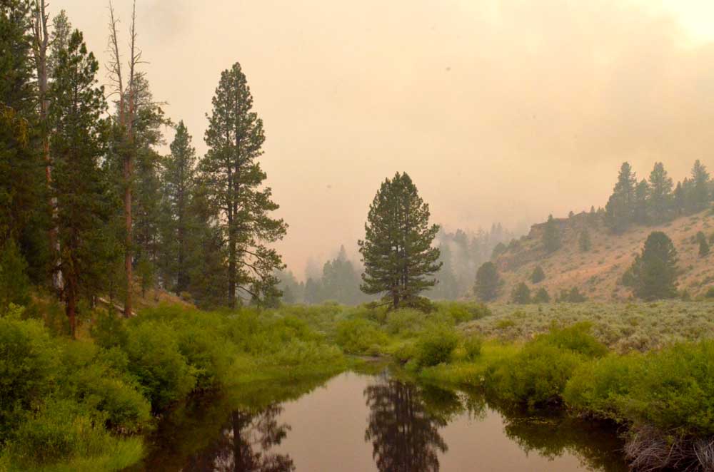
- Smoke from the Falls Fire casts an eerie haze over the Silvies River near the southern edge of Grant County on July 16, 2024.
CANYON CITY — As firefighters gain more ground on wildfires burning in and around Grant County, emergency managers continue to roll back evacuation advisories.
Trending
The final evacuation zone for the Courtrock Fire has been removed, the Grant County Management Office announced on Friday, Aug. 16.
In addition, two level 3 “Go Now” evacuation zones near the Falls Fire have been downgraded to Level 2 “Be Set” status. Those zones, both outside the fire lines, extend East from South Scotty Creek to Highway 395 and south to the Harney County line.
The Courtrock Fire, which continues to smolder in the area south of Monument and west of Long Creek, is holding at 20,000 acres and is now 99% contained, according to fire managers.
Trending
The Falls Fire, burning 13 miles northwest of Burns and into southern Grant County, is holding at 152,000 acres and is 89% contained.
For regular updates, visit the Grant County Emergency Management Facebook page at https://www.facebook.com/p/Grant-County-Emergency-Management-100068819321423/; call the information line at 541-575-2885; or email the Emergency Operations Center at GCEOC@grantcounty-or.gov.
An active GIS map is available online at: https://oregon-oem-geo.hub.arcgis.com/
Marketplace


-
eEdition

-

-
