Crockett Knob Fire continues to spread; blaze is 0% contained
Published 9:45 am Tuesday, August 30, 2022
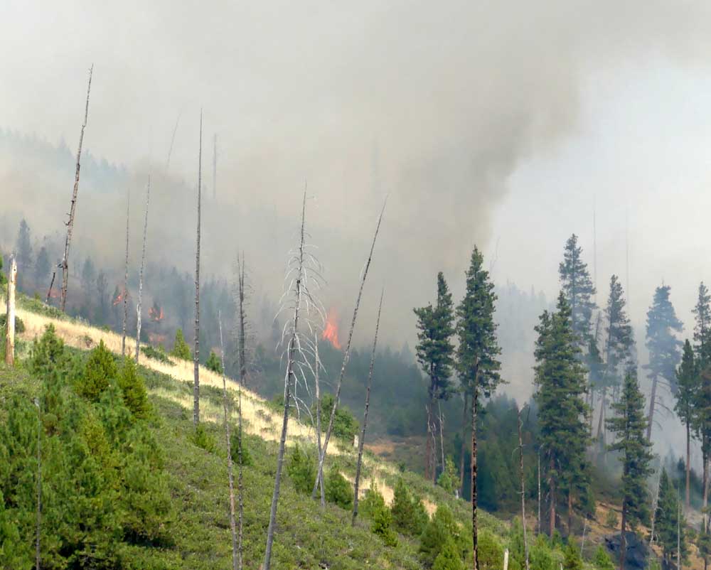
- The Crockett Knob Fire burned more than 4,000 acres in Grant County in 2022.
GREENHORN — A fire that broke out roughly 20 miles north of Prairie City on Aug. 22 after a storm with abundant lightning moved through the area has ballooned to 1,859 acres and is currently 0% contained.
Trending
According to a Tuesday, Aug. 30, press release from the U.S. Forest Service, temperatures have increased since a warming trend began on Sunday. However, the press release also noted that a cold front moving into the area could produce gusty winds that could cause the Crockett Knob Fire to grow within the next couple of days.
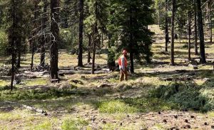
Nonetheless, the Forest Service noted that the crew of more than 438 firefighters using heavy equipment has made good progress, improving road systems and a containment line on the western flank of the blaze.
According to the press release, masticators are being used to reduce fuel loads along Forest Service Road 45 and remove brush and dead and down timber litter. In addition, more resources have been arriving at the fire to aid with line construction ahead of hotter and drier weather this week that could contribute to the fire’s spread.
Trending
Also, the Forest Service noted, a division of firefighting resources has been put together to identify potential structure or infrastructure protection needs and initial attacks for new starts in the area.
Meanwhile, crews are continuing to scout roadless areas to create hand lines to slow the spread of the fire.
Road, trail, campground and area closures are in effect, including a zone starting at the junction of County Road 20 and Forest Service Road 45, east to Sunshine Guard Station, north on FSR 2000909 to the intersection at FSR 4550, northeast on FSR 4555, then northeast to Sunrise Butte Trail No. 255, northeast to the junction with Princess Trail No. 251, east to Blue Mountain Trail No. 6141, northwest to FSR 45 and back south to the intersection of County Road 20.
Also, all boundary roads and trails will be closed except for County Road 20 from the junction of FSR 45 to the intersection of FSR 2000909 at Sunshine Guard Station.
For more information about road closures, go to fs.usda.gov/malheur.
Marketplace


-
eEdition

-

-
